WHAT WE OFFER?


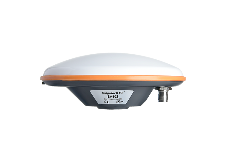
SingularXYZ brings centimeter-level GNSS accuracy to precision drilling by turning its X1-Series Smart GNSS Base Station into a “zero-touch” reference on site. The unit powers on, auto-locates any previously-surveyed point within 5 m, and instantly broadcasts RTK corrections that keep the drill rig’s guidance system locked to the designed collar coordinates—no manual coordinate re-entry, no typos, no shift-to-shift misalignment. When the pattern moves, crews simply pick up the base, set it down near an old point, and drilling resumes with the same global frame, eliminating re-survey downtime and guaranteeing every hole is placed exactly on blast design. If the pit depth or canyon walls block external CORS signals, the X1 fills the gap as a local UHF fill-in base, so hole spacing, dip and azimuth remain consistent from first to last row, saving explosives, reducing over-break and maximizing ore recovery
SingularXYZ’s nationwide CORS network streams centimeter-level RTK corrections 24/7, eliminating local base stations and radio limits; crews simply connect via 4G/UHF to keep drill rigs, survey rovers, and machine control continuously on-design, slashing setup time, guaranteeing hole collar accuracy across shifts, and ensuring every blast round matches the engineer’s pattern for optimized fragmentation and ore recovery.

SingularXYZ drives precision drilling by broadcasting centimeter-level RTK corrections, ensuring every hole lands on design coordinates, optimizing blast patterns, reducing over-break, and maximizing ore recovery with zero rework.
SingularXYZ’s 3D SLAM scanners rapidly capture high-resolution underground maps, enabling real-time drift, stope, and void surveys without GPS, improving safety, ventilation design, and blast accuracy in minutes.